Does Bali Sit Inside the Pacific Ring of Fire?
Bali Villa Hub
2/26/2026
Does Bali Sit Inside the Pacific Ring of Fire?
Bali's dramatic volcanoes and frequent earthquakes raise a common question: is the island part of the Pacific Ring of Fire? This article explains Bali's geological setting, following the chain of evidence from regional boundaries through plate interactions to the island's volcano distribution and eruption history. Clear transitions link each topic so readers can follow why Bali behaves as it does and what that means for residents and visitors.
Geographic boundaries of the Ring of Fire near Bali
Bali sits on the inner edge of one of the most active volcanic belts on Earth. This section describes how the Ring of Fire is defined in the Bali region and which geological features mark its local boundary.
Regional position within the Sunda Arc
Bali forms part of the Sunda Arc, a volcanic chain that runs from Sumatra through Java and Bali to the Lesser Sundas. The arc traces where the Australian Plate converges with and slides beneath the Sunda microplate. Volcanic centres on Bali align with this arc and mark the northern limit of the active margin in this sector.
Trench location and subduction front
The principal surface expression of the boundary lies to the south of Bali where the Java Trench runs roughly parallel to the coast. The trench and its associated megathrust lie approximately one hundred fifty kilometres offshore from southern Bali depending on the section measured. Earthquakes and uplift along that megathrust define the seismically active frontier of the Ring of Fire in the area.
Below the trench the subducting slab descends beneath the arc and creates the deep seismic zone known as the Wadati Benioff zone. Seismicity along that plane produces frequent moderate to strong earthquakes and supplies the magma that feeds Bali volcanoes.
Local boundary as seen on land and sea
On maps the Ring of Fire near Bali is best delineated by the chain of active volcanoes across the island and the offshore trench system to the south. To the east the belt continues into Lombok and the Flores islands and to the west it links to Java. Together those features form a continuous arc of volcanism and seismicity that places Bali squarely within the Ring of Fire.
These geographic markers establish the broad setting. To explain why those features occur where they do, we next examine the tectonic plate configurations beneath Bali.
Tectonic plate configurations beneath Bali
Beneath Bali a compact but dynamic set of plate interactions controls seismicity and volcanism. This introduction outlines the main players and how their configuration creates the conditions for frequent earthquakes and active volcanoes on the island.
Plate relations and movement
The dominant interaction is the northward motion of the Australian Plate as it converges with and subducts beneath the Sunda microplate. Convergence rates near Bali are on the order of six to seven centimetres per year. The subduction occurs along the Java Trench to the south and defines the primary boundary where oceanic lithosphere descends beneath the island arc.
Slab geometry and seismicity
The subducting slab beneath Bali descends at a moderate angle forming a Wadati Benioff zone that produces earthquakes from shallow crustal depths down to around three hundred kilometres. The volcanic arc on Bali sits roughly one hundred kilometres north of the trench and is fed by melts generated when fluids released from the slab flux the overlying mantle wedge. This slab geometry explains the pattern of shallow to intermediate depth seismicity that affects the island.
Crustal structure and volcanic sources
Above the subduction interface the crust is a composite of volcanic arc deposits, intrusive bodies and fragments of accreted material from the trench. An accretionary prism develops off the southern coast and the arc crust is thicker and compositionally evolved compared with adjacent oceanic crust. Magma produced in the mantle wedge rises through this crust to feed Bali volcanoes such as Agung and Batur.
With the plate picture in place, the next section describes the specific subduction zones and trenches that directly influence Bali's seismic and volcanic activity.
Subduction zones and nearby oceanic trenches
The most prominent subduction feature affecting Bali is the Sunda subduction zone where oceanic lithosphere sinks beneath the island arc. Offshore to the south the most visible expression of that process is the Java Trench which runs roughly parallel to Bali and Java. The trench reaches depths exceeding seven thousand metres in places and lies typically around one hundred to one hundred fifty kilometres seaward of the volcanic arc.
At the scale beneath Bali the Australian Plate descends beneath the Sunda microplate at a convergence rate of roughly six to seven centimetres per year. The descending slab forms a tilted plane of seismicity called the Wadati Benioff zone and generates earthquakes from shallow crustal depths down to several hundred kilometres. Slab geometry is moderate in dip which helps concentrate magma production beneath the volcanic chain.
Subduction here is not only a source of volcanoes but also of major seismic hazards. Megathrust ruptures on the subduction interface can produce strong ground shaking and tsunamis that affect the coasts of Bali and neighbouring islands. That hazard profile is why regional seismic monitoring and tsunami early warning systems are key components of local disaster planning and why uplift and subsidence patterns south of the island are closely watched by geologists.
Mechanically driven dehydration of the slab releases fluids into the overlying mantle wedge and triggers partial melting. Those melts ascend through thicker arc crust to feed cones such as Mount Agung and Mount Batur, which sit roughly one hundred kilometres north of the trench. The close spatial link between trench, slab and volcanic arc makes the subduction system the principal geological engine shaping Bali today.
Understanding the subduction system helps explain where volcanoes appear; the next section looks at how those volcanoes are distributed across the island and what roles they play.
Distribution of volcanoes and Bali's volcanic role
Bali's volcanoes form a clear linear pattern across the island, reflecting its position on the Sunda volcanic arc. This concentrated distribution is a direct expression of the subduction system beneath the island and explains why volcanic peaks punctuate Bali's landscape.
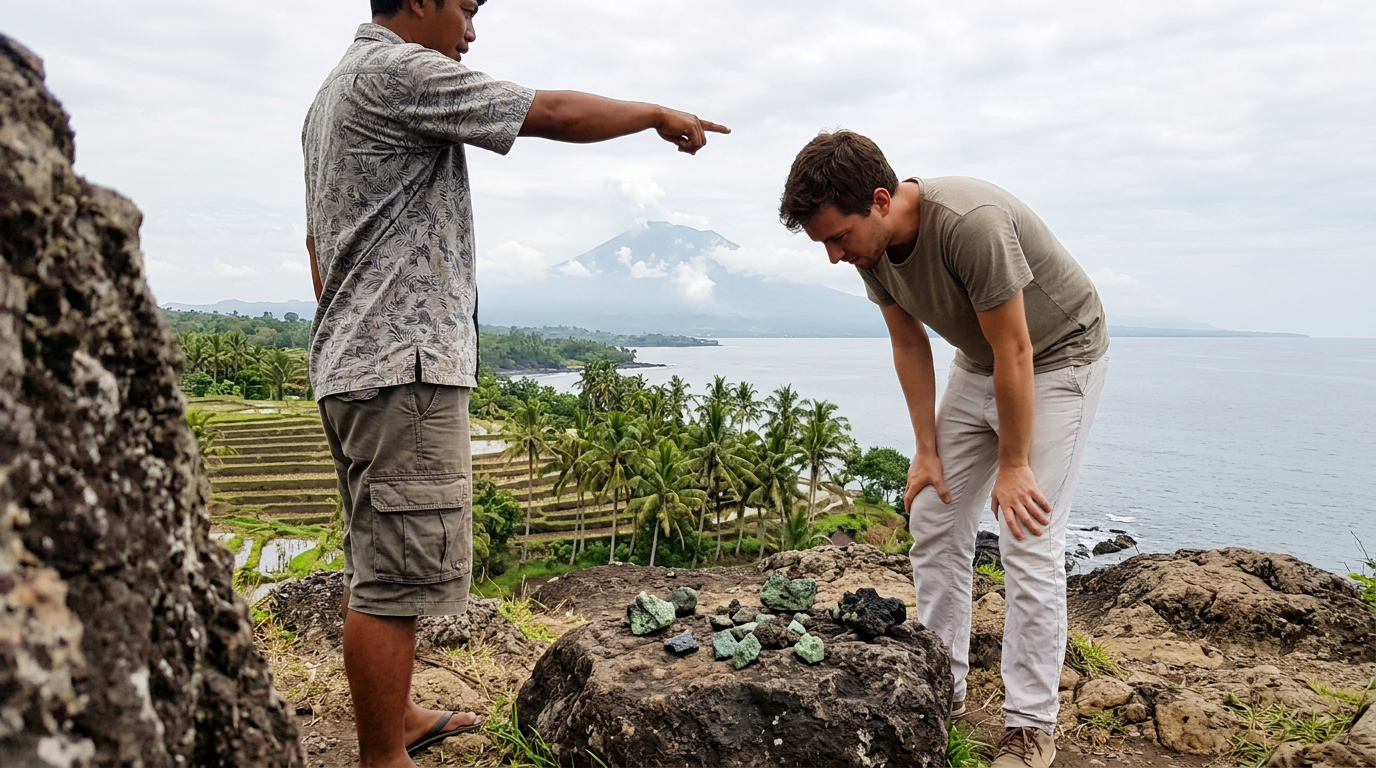
The island hosts a mix of active cones and older dormant mountains. Notable active centres include Mount Agung which reaches just over three thousand metres and Mount Batur which sits within a large caldera, while several other peaks are older, eroded and largely quiescent.
- Arc alignment and continuity — Volcanoes on Bali align roughly parallel to the trench to the south and continue eastward into Lombok and the Flores chain, forming a continuous belt of volcanism across the Lesser Sundas.
- Volcano types and landforms — The assemblage includes steep stratovolcanoes and expansive calderas; caldera systems such as Batur influence local hydrology and create broad flattened basins.
- Active versus dormant distribution — Active vents are concentrated in eastern and central sectors while western Bali preserves older, more eroded volcanic edifices, reflecting both recent and long term magmatic activity.
- Soil fertility and agriculture — Repeated deposition of volcanic ash and lava has produced deep, nutrient rich soils that support rice terraces, coffee and horticulture across upland slopes.
- Human and hazard role — Volcanoes shape settlement patterns, pilgrimage routes and tourism but also pose risks from eruptions, ashfall and related seismic activity, requiring continuous monitoring.
These distribution patterns demonstrate that Bali is an integral part of the regional volcanic system rather than an isolated outlier. With that context established, the following section details the island's active volcanoes and their eruption histories.
Active volcanoes in Bali and eruption history
Bali is dominated by a small number of volcanoes that have the greatest influence on island hazards and landscape change. The most prominent active peak is Mount Agung, which rises to about 3,031 metres and whose large explosive eruption in 1963 caused widespread devastation, more than one thousand human fatalities and ashfall as far away as Java. Agung returned to a state of prolonged unrest in 2017 and 2018, producing ash plumes, lava emissions and repeated evacuations that disrupted air travel and local agriculture. A second key centre is Mount Batur, which occupies a nested caldera complex in north east Bali and has a history of frequent smaller eruptions that produce lava flows, modest ash emissions and occasional pyroclastic activity that impacts communities around the caldera rim. Batur’s landscape records both catastrophic caldera collapse in the distant past and many Holocene eruptions that shaped its present form. Other smaller vents and volcanic features across Bali are largely older and less active but contribute hot springs, fumaroles and geothermal potential which reflect ongoing magmatic activity at depth.
Together these volcanoes show two contrasting behaviours on the island: rare but highly explosive events with regional consequences and more frequent low to moderate eruptions with intense local effects. This duality informs hazard planning where exclusion zones, ashfall maps and evacuation routes are maintained by authorities and monitored by volcanologists using seismic networks, gas measurements and satellite observations. For residents and visitors the practical implications are clear because ash can affect air quality and water supplies and eruptions can interrupt transport and tourism. Knowing the eruption history of Agung and Batur gives the best sense of what to expect on Bali and why continuous monitoring remains essential for public safety and land use planning.
If you are planning travel or a longer stay and would like reliable local options that consider safety and proximity to monitored areas, visit https://www.balivillahub.com/en to explore vetted villas and local guidance tailored to the island's volcanic landscape.